Covid has put pay to a great many things this year but for me and my family there has been one distinct positive. As relative newcomers to the area (my one year anniversary of joining Merlin was just after lockdown started) we have enjoyed getting out and about on foot to explore the area we live. In the early days we were limited to those walks we could do from home (1) which fortunately for me includes a geological locality where the Triassic-Jurassic boundary can be observed showing the marked change from terrestrial (red) to marine (grey) conditions.
Once the lockdown started to lift there were the Malvern Hills (2) to explore. These 680 Ma Precambrian igneous and metamorphic rocks mark the boundary between the Wrekin Terrane to the west and Charnwood Terrane to the east, two once separate fragments of the Earth’s crust. The presence of numerous quarries within the hills makes it possible to see rocks of various ages as well as faulting and igneous intrusions.
More recently we have been looking for somewhere new to explore and spotted the Geopark Way guide on the bookshelf. This is a 109 mile long route through the Abberley and Malvern Hills Geopark, which Merlin supports. Quite fortuitously one of the segments of the route winds its way from Merlin’s Colwall office to its Ledbury office and so this seemed a logical place to start. This section of the walk traverses alternating resistant limestones and softer shales of the Silurian period and includes the opportunity for some fossil hunting.
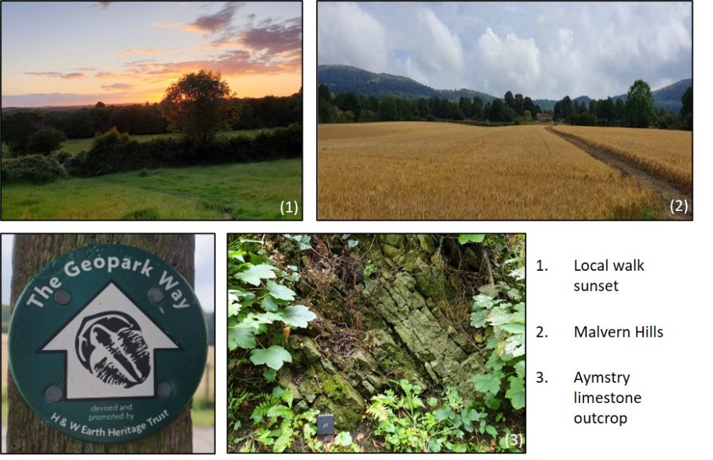
Leaving Colwall station it is a short walk into the hills and onto a ridge of steeply dipping Silurian Aymstry limestone (3), the dip of which decreases as you come down the other side of the hill. This limestone forms the ridges that cross the landscape along the walk between which the softer Upper Ludlow Shales have been eroded to form the vales.
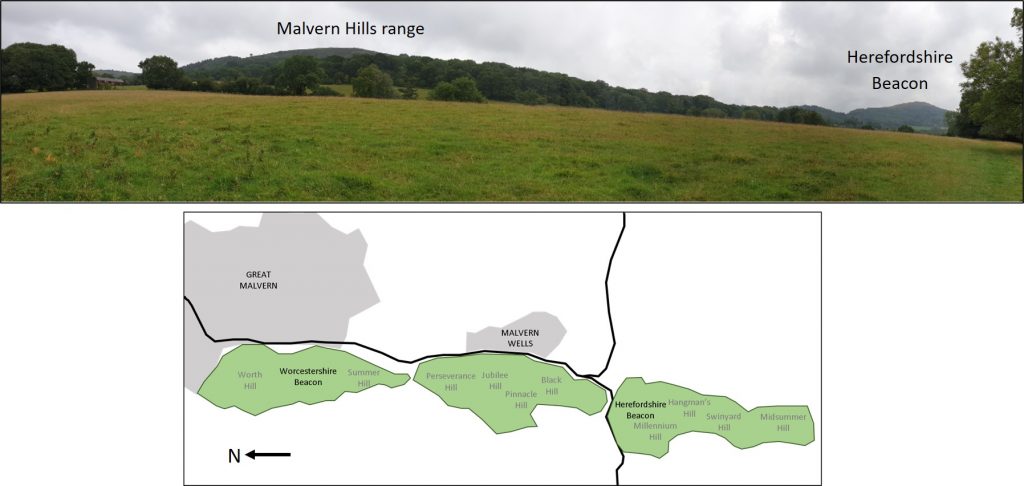
At the top of the hill you also get a view of the Malvern Hills and the noticeably offset Herefordshire Beacon with the distinctive profile of the British Camp Iron Age hill fort. The offset of the Herefordshire Beacon from the main line of the Malvern Hills range is clearly seen in plan view and is due to faulting at this point in the ridge line.
Travelling down from the hills you enter a broad, flat valley bounded by the limestone ridges. The Raglan Mudstone found in the base of the valley formed as part of an extensive low-lying alluvial flood plan during the Silurian. These softer rocks have subsequently been eroded with today’s drainage pattern probably dating from the Ice Age during which time the presence of ice sheets resulted in changes to river patterns.
Having traversed the broad valley you cross a fault and walk up once more onto the limestone ridge on the other side where the crest of Oyster Hill is thoroughly recommended as a picnic spot, minus one car it was totally peaceful apart from the sheep! Descending again the other side of the ridge you cross a synclinal fold with younger Devonian Old Red Sandstone soil at surface before once again encountering the walk’s final Silurian Limestone ridge. The remainder of the walk follows the ridge along the edge of a wood and down into Ledbury.
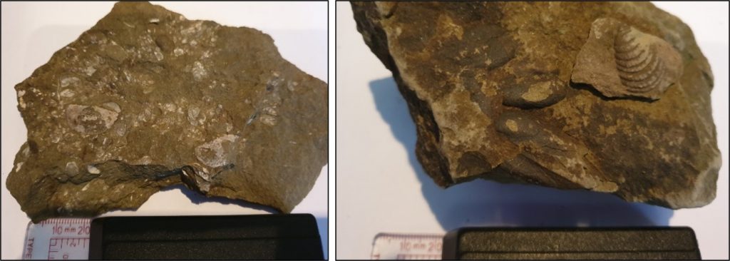
This final section contains a small, heavily overgrown, disused quarry which is where a spot of fossil hunting can be done. We found a variety of shells including bivalves and brachiopods in the loose blocks.
We thoroughly enjoyed walking this part of the Geopark Way, not just from a geological standpoint, but also from the enjoyment of exploring somewhere new. The guide book was excellent and provided clear instructions. The majority of stiles were way marked so we didn’t need to use our backup OS map once, which was a good job as in the thunder storm which marked the last mile of our walk, it would have been sodden within minutes!
By Helen Bone, Senior Geologist
