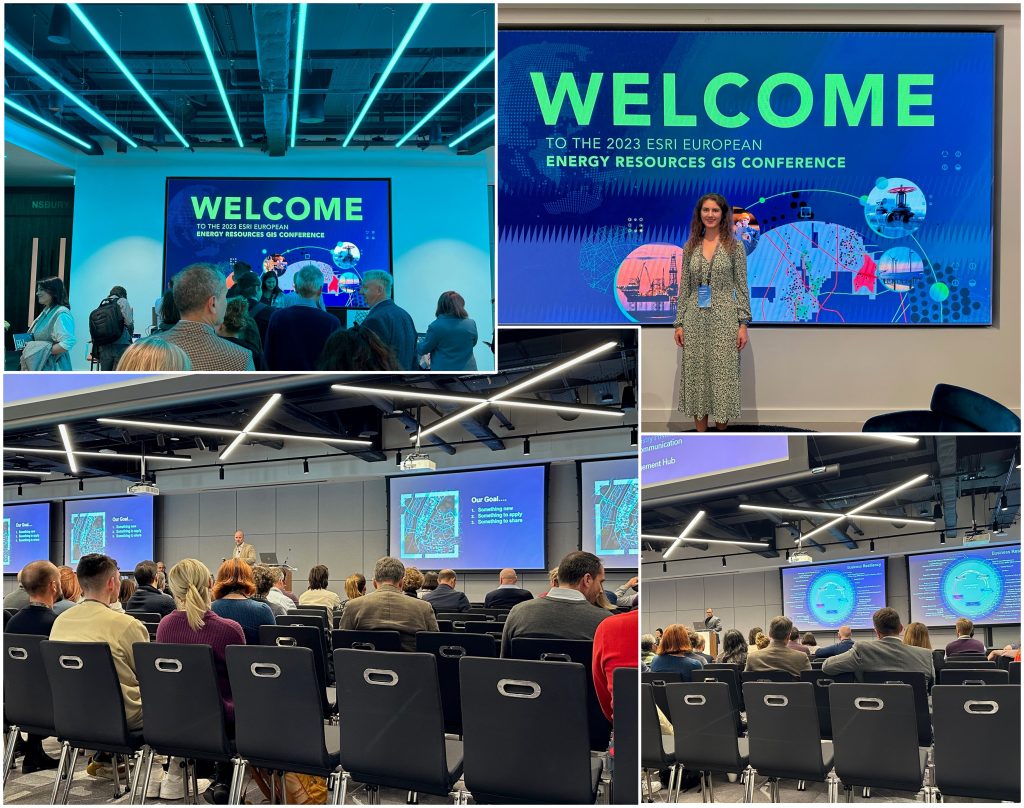
Earlier this week I had the pleasure of attending and presenting at the ESRI European Energy Resources GIS Conference 2023. The conference was well attended with over 200 attendees and 27 ESRI user presentations.
The big buzzword over the two days was ‘connected’. By providing connected environments, ESRI gives companies and users flexibility, creating a ‘single version of truth’, with ArcGIS becoming a modern system for record keeping. Whether users are integrating information from multiple data sources seamlessly in a project, or using ArcGIS to provide a single portal for multiple projects, creating these connected networks significantly enhances user experience.
The fundamentals of GIS, knowing spatially where your data lies and creating maps, was not lost in the talks. However the conference also stressed how spatial data can deepen analysis, visualisation and understanding: location can help link otherwise un-linkable data. It was also noted that it is now no longer just the final map that is the main product, it is the whole map service. A lot of emphasis was placed on ESRI’s Living Atlas, which contains much more than just base maps. Users can search and quickly add pre-trained models, 3D (and of course 2D) base maps and live data feeds, amongst other layers, to their projects.
Digital twins were also highlighted as a key tool for the future. By loading these virtual representations of the real world with historical data and applying current operational performance data, the models can be run to test and predict future outcomes. By adding spatial context to these twins, you can also analyse how they relate to one another and the real world.
The second day, presentations were split into 4 tracks: ‘oil and gas’, ‘renewable energy’, ‘pipeline’ and ‘technical workshops’. There were some great presentations on how different customers use ESRI products which I have brought back to broaden the Merlin GIS arsenal. Overall it was exciting to see how the geospatial industry is developing and what additional techniques Merlin can be applying to its data analysis methodologies.


